Maps
Dynamic and Intuitive Geospatial Analysis
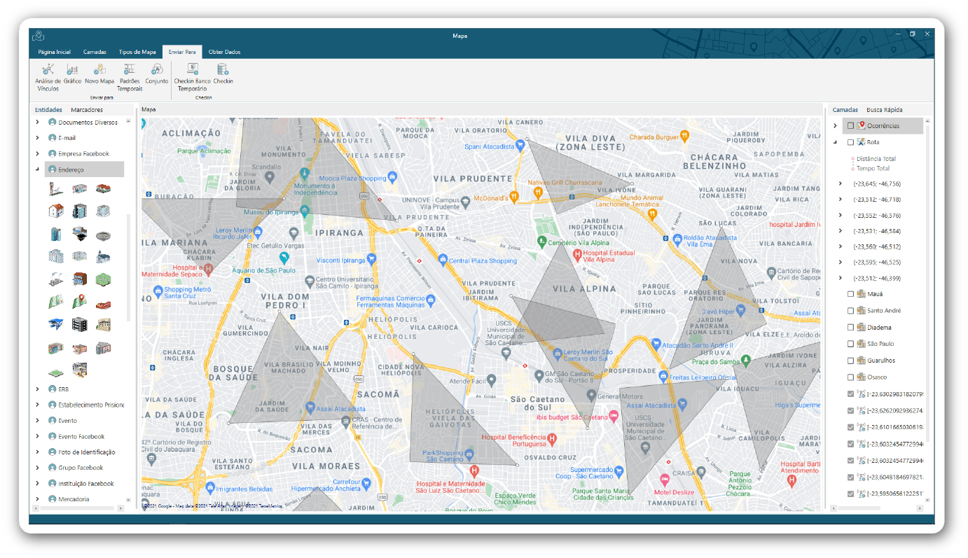
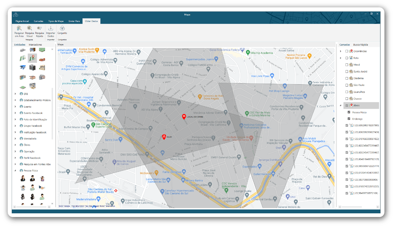
Georeferenced analysis offers a broader spatial perspective, crucial for enhancing investigation planning and understanding data distribution and patterns. Caseboard’s Map tool empowers users with advanced features like heat maps, cellphone antenna triangulation, route and traffic analysis, and seamless integration with multiple online map servers. These capabilities make analytical map creation straightforward and effective, aiding in better decision-making during operations.

Analytical maps provide a comprehensive spatial analysis, enabling investigators to visualize heat maps, design routes, identify cities and points of interest, and utilize street views. Whether for specific analyses or broader action planning, maps are essential in understanding the spatial distribution of events, pinpointing critical areas, and highlighting key regions of interest during investigations.
Analytical maps provide a comprehensive spatial analysis, enabling investigators to visualize heat maps, design routes, identify cities and points of interest, and utilize street views. Whether for specific analyses or broader action planning, maps are essential in understanding the spatial distribution of events, pinpointing critical areas, and highlighting key regions of interest during investigations.

Cellphone Antenna Triangulation
Track Targets with Cellphone Antenna Triangulation
Use cellphone antenna data to track the movements and locations of individuals, identifying significant places they’ve visited. This feature is vital for tracing the paths and whereabouts of targets during investigations.
Layers
Organize and Analyze Data with Map Layers
Enhance your geospatial analysis by organizing data into customizable layers within the Map tool. Create layers for paths, polygons, cities, colors, addresses, or markers to examine different datasets simultaneously and gain deeper insights into your investigation.
View a map Item in Street View
Points on the map can be sent directly to the Google Street View tool, displaying in the browser the location of the selected point on the map.
GeoJSON Importer: Simplifying Geospatial Data Integration
The GeoJSON Importer tool is designed to streamline the process of integrating geospatial data into your projects. Whether you’re working on mapping applications, spatial analysis, or location-based services, this tool provides an efficient solution for importing GeoJSON files directly into your system.
With the GeoJSON Importer, you can easily load complex geospatial data, including points, lines, polygons, and multi-geometries, into your database or application. The tool automatically parses GeoJSON structures, ensuring that your spatial data is accurately represented and readily accessible for further analysis or visualization.


